
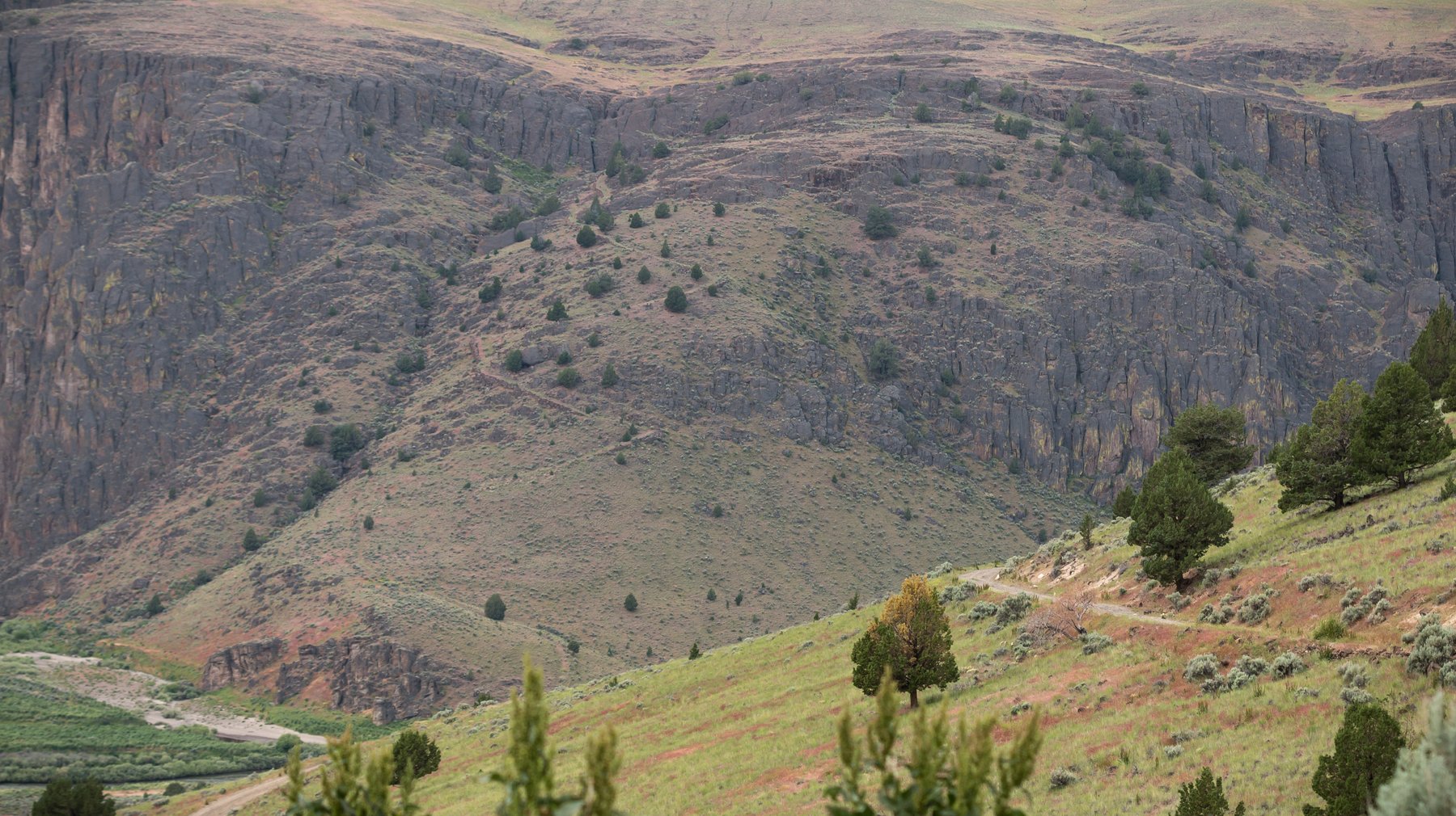
Let's be honest right at the top: this one is not for everyone. Three Forks is one of the most remote places you can drive to in Oregon, and reaching its hot springs takes real preparation. But for those who make it, soaking in a warm pool beside a wild river deep in the canyon is unforgettable.
Deep in the Owyhee canyonlands, where the North, Middle, and Main forks of the Owyhee River converge, lie riverside warm springs beneath a small waterfall. It sits roughly forty miles from Jordan Valley down a long, rough dirt road — genuinely one of the most remote soaks in the state. This guide covers what's there, why people make the effort, the very real access challenges, and how to plan it responsibly.
What is Three Forks?
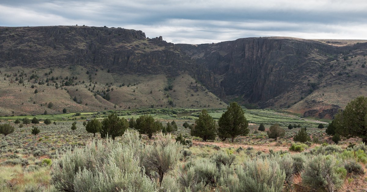
Three Forks is named for the confluence of three branches of the Owyhee River, set at the bottom of a dramatic high-desert canyon. Geothermal water emerges from several springs at around 95°F and collects in pools on both sides of the river — the most prized being a large pool fed by a small waterfall. The setting is spectacular: canyon walls rising overhead, the river running past, and warm mineral water to sink into at the end of a hard journey.
It's also a primitive, undeveloped site. There are no facilities at the springs, the nearby Three Forks Recreation Site offers only a handful of basic campsites and a vault toilet, and much of the riverbank is unmarked private land that owners have generously allowed visitors to cross. This is a place that demands respect, self-sufficiency, and good judgment.
Why it's worth the trip
Three Forks is a destination for the well-prepared adventurer who values remoteness above comfort. Here's the draw:
- True solitude. This is among the most remote spots in Oregon — you may well have it entirely to yourself.
- Riverside hot springs. Soaking in warm water beneath a waterfall, beside a wild river, deep in a canyon, is a rare experience.
- The canyon itself. The confluence of the three forks is dramatic country, beautiful at sunrise and sunset for those who camp.
- The accomplishment. Simply getting there — and back — is part of what makes it memorable.
How to get there
This is the access section to take most seriously of any guide on this site. Three Forks lies roughly forty miles south of Jordan Valley, reached via Highway 95 to a marked turnoff, then more than 27 miles of poorly maintained dirt road. A high-clearance four-wheel-drive vehicle is required, not optional, and the final descent into the canyon is rougher still. Reaching the actual springs from the recreation site involves hiking and fording the river on foot.
A few honest notes before you go:
- Never go in wet weather. The dirt road becomes an impassable, muddy trap when it rains — getting stuck out here is genuinely dangerous. Check the forecast and turn back if in doubt.
- High-clearance 4WD only. This is not a trip for a passenger car or a stock crossover. The road and the canyon descent demand a capable vehicle and a confident driver.
- Total self-sufficiency. No cell service, no services, no help. Carry extra fuel, water, food, recovery gear, and tell someone exactly where you're going and when you'll be back.
- River crossings on foot. Reaching the best pools means wading the Owyhee. Never cross if the water is high, fast, or above your knees — and watch for poison ivy and the occasional rattlesnake.
Three Forks at a glance
- Location
- Owyhee River canyon, Malheur County, southeastern Oregon
- Managed by
- Bureau of Land Management (BLM); springs on unmarked private land
- Access
- ~40 miles from Jordan Valley; high-clearance 4WD required, then a hike with river crossings
- Best season
- Late spring through early fall, dry conditions only
- Cell service
- None whatsoever — full self-sufficiency required
- Good for
- Experienced backcountry travelers, hot springs, solitude
- Cost
- Free; primitive camping at Three Forks Recreation Site
When to go
Go only in dry conditions, late spring through early fall. The road is treacherous when wet at any time of year, and the river crossings to the springs are only safe at lower flows — meaning later in the season, well after spring runoff. This is never a spur-of-the-moment trip: watch the forecast, confirm the road is dry, and build in a full day or an overnight at the recreation site. When in doubt, don't go.
See it before you go
Here's an honest look at the road in and the springs at the end — watch it before you decide whether this trip is right for you:
Make Three Forks part of a bigger trip
Three Forks is the deep end of the Owyhee adventure — best attempted once you've gotten a feel for the country on its more forgiving outings. Warm up with Antelope Reservoir and the Pillars of Rome, work up to Leslie Gulch and Birch Creek, and save Three Forks for when you and your rig are ready for the real backcountry.
Image credits
- Hero — "Three Forks Recreation Site, morning canyon view" by Greg Shine / BLM Oregon & Washington. Source. Used under CC BY 2.0; cropped and resized.
- Confluence view — "Three Forks Recreation Site" by Greg Shine / BLM Oregon & Washington. Source. Used under CC BY 2.0; cropped and resized.
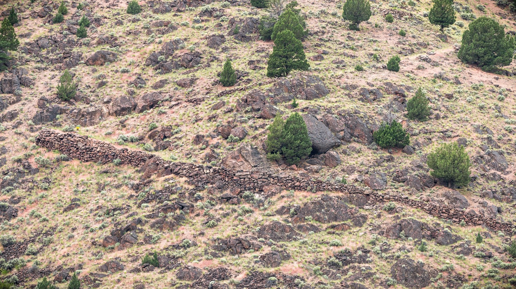
- Military road on canyon wall — "Three Forks Recreation Site" by Greg Shine / BLM Oregon & Washington. Source. Used under CC BY 2.0; cropped and resized.
Your basecamp for the Owyhees
After forty miles of dirt road and a soak in the canyon, you'll want a hot shower and a real bed waiting. Sunny Ridge RV Park is your basecamp and your safe return, near Jordan Valley, Oregon.
Book Your Stay